
Varco
in progress· 2026 · featured
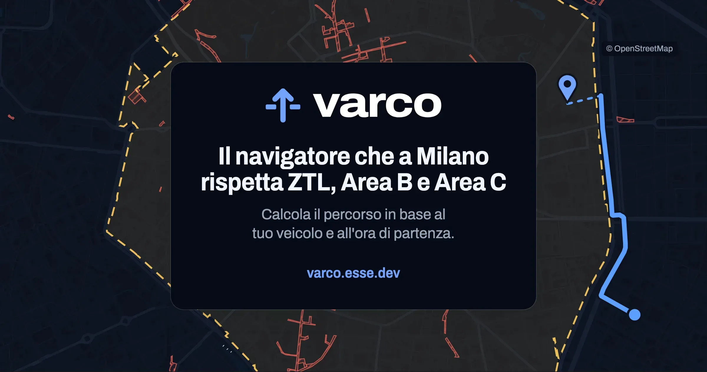
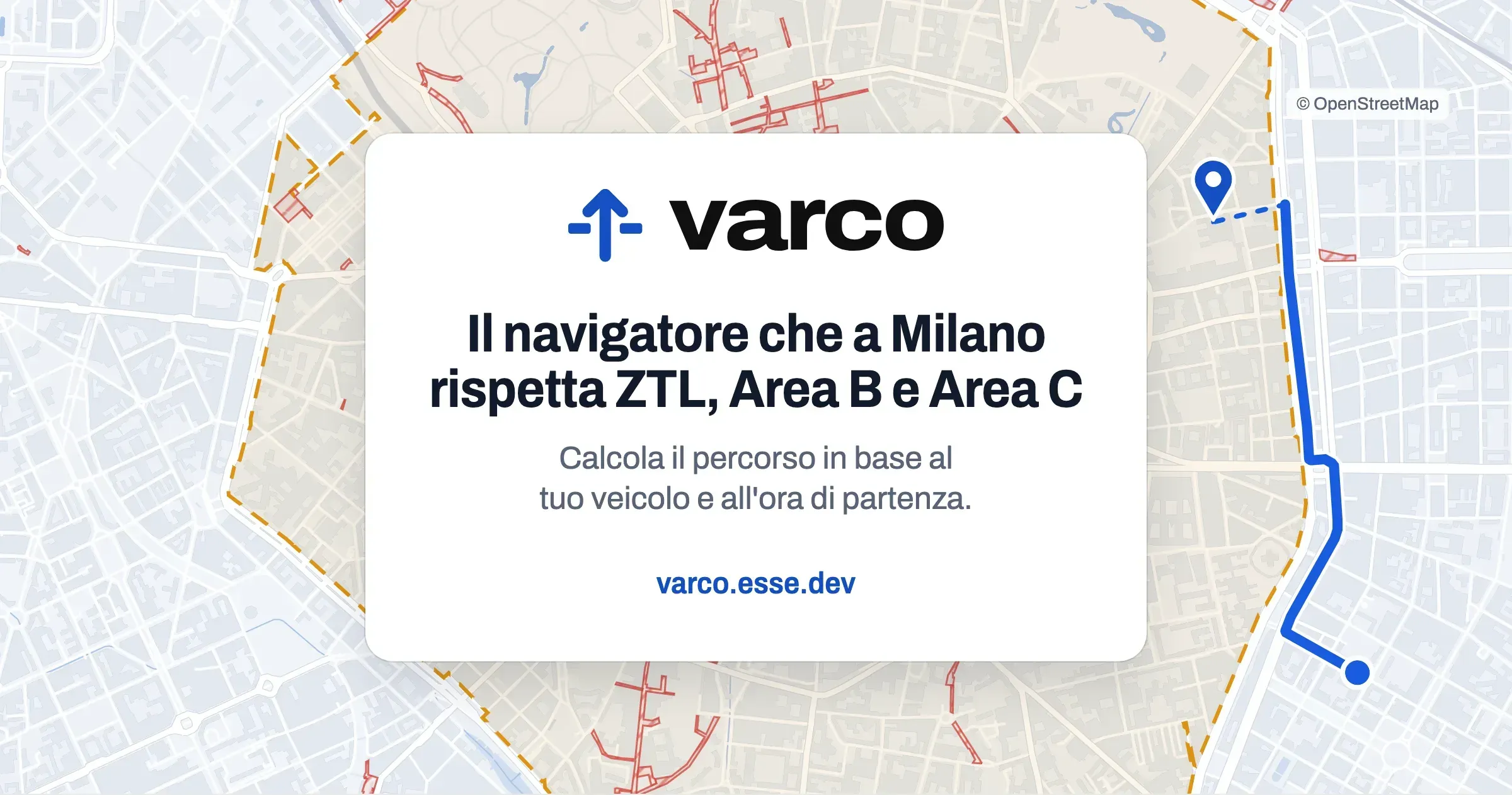
A navigator for Milan that knows where your car is allowed in: ZTLs, pedestrian areas, Area B and Area C by vehicle and time of day, and a route that avoids them.
Why
When in doubt, a zone is closed: a rule not yet transcribed, a time window not found or an expired calendar give "you can't enter", never "free". The only mistake that costs a fine is saying you can enter when you can't.
Since I moved to Milan in 2026, the city has given me three projects: Varco is the third, the first two are below. Driving here, the question is not only how to get there but whether you are allowed in: limited traffic zones (ZTL) with different hours, pedestrian areas, Area B and Area C with rules that depend on fuel, Euro class and exemptions. A navigator takes you inside without asking what car you drive. Varco starts from there: for every zone it says whether you can enter, on what terms and until when, and guides you around the closed ones.
How it works
- The vehicle is described with the fields of its registration document, plus exemptions and permits (Area C residency, Move-In, disabled badge). It stays on the phone, with no account.
- The rules engine is TypeScript shared by the Worker and the PWA: the “can I enter?” answer works without a network too.
- Every rule cites its source: the City’s acts, otherwise the road sign seen on Street View with the photo’s date. The zones missing from the City’s dataset I redrew on OpenStreetMap’s streets.
- Valhalla computes the route and Photon searches addresses, both self-hosted on my server. If the destination is inside a closed zone, the arrival is the nearest reachable point, verified with the router, and the last stretch is on foot.
- Voice navigation, rerouting when you leave the route, stops, and for electric cars the charging points from Italy’s national charging platform.
Where it stands
It is online at varco.esse.dev, at version 1.1, and installs from the browser as an app. Every ZTL in force is transcribed with a source. The next step is the test in a car. Varco is a working name.
Before this
- 2026
based-routing
A public transport trip planner that considers every station you can walk to and picks the one that gets you there first: timetables of Trenord, ATM and two regional bus networks, about 5 million stop times, and Trenord delays live. A PWA with 176 tests, paused until the official feeds open up.
- 2026
Milanoz
A map of Milan's 88 official neighbourhoods with population, incomes, house prices, greenery and heat islands, plus places with their history. Static: a Python pipeline prepares the data, with no backend.